Arizona · Mohave · Conditional
Burro Creek Recreation Site
 Material reference
LOCATION FIELD MAP
Local map for Burro Creek Recreation Site
The emphasized pin represents this guide’s mapped location; nearby pins provide comparison context and are not automatic collecting destinations.
Burro Creek Recreation Site is a Conditional rockhounding lead in Mohave, Arizona. The recorded material or interest is Sonoran Desert canyon geology (site-specific collecting authority unverified). The recorded manager or evidence context is Bureau of Land Management – Kingman Field Office. A condition remains unresolved before collecting. Verify the condition described in the evidence reason before field use.
Can I collect at Burro Creek Recreation Site?
Conditional. Current BLM page explicitly states Burro Creek offers rockhounding and publishes the campground coordinate/directions. Publish the coordinate only as an access/recreation-site pin, not a claim-free collecting pin. Avoid collecting in developed campsite/picnic surfaces unless site rules expressly allow; follow current claim/mineral-rights restrictions.
A condition remains unresolved before collecting. Verify the condition described in the evidence reason before field use.
What rocks, minerals, fossils or collecting interests are associated with it?
The record lists Sonoran Desert canyon geology (site-specific collecting authority unverified). This description is tied to this atlas entry and should be read together with the access status below.
Who manages the place or provides the evidence context?
The recorded manager or context is Bureau of Land Management – Kingman Field Office.
What evidence supports this status?
The record was last reviewed on 2026-08-14. Evidence and management context: Bureau of Land Management – Kingman Field Office.
Source verification: This guide names the recorded evidence or land-manager context but does not provide a direct document-level link establishing collecting permission. Before collecting, confirm the current rule and any applicable restrictions with the named authority.
How precise is the map marker?
The atlas stores an exact public or official coordinate pair for this record. The coordinate identifies the mapped destination or access context described by the record; it does not expand permission beyond the documented activity.
Checks specific to this location
- Confirm current mining claims and mineral rights at the exact site; a public-land label does not clear claims.
- Check current water, weather and access conditions, including any stream-specific collecting restrictions.
- Verify the exact destination, the land manager’s latest rules and safe travel conditions before leaving.
When was this information last checked?
The recorded review date is August 14, 2026. Treat that date as the evidence snapshot used for this classification. Conditions can change after review, so field decisions should use the newest posted rules and manager information.
Is a map pin the same as collecting permission?
No. A map pin answers a navigation or geographic-context question. The status and evidence answer the permission question. Exact coordinates, public destination addresses and approximate county or regional context are deliberately kept separate so geographic precision is not confused with legal authority.
Burro Creek Recreation Site: camping access is not a mineral permit
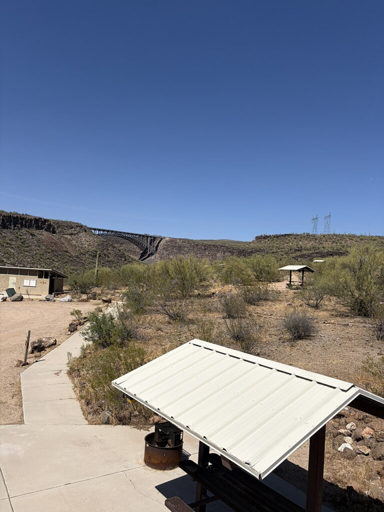
BLM’s Burro Creek facilities make a useful travel landmark along a dry southwestern landscape. However, a campground, picnic shelter or public trail does not turn the whole recreation site into a digging area. This guide’s status and the site’s posted regulations must determine what activity, if any, is permitted at the exact location.
Desert washes and mineral claims
Always assess flash-flood risk before entering washes or steep banks. Check claim ownership and special-designation restrictions beyond developed facilities; a day-use pass is not mining authorization. See the explicitly managed Black Hills Rockhound Area for a more direct public rockhounding destination.
LOCATION-SPECIFIC FIELD ANSWER
What to verify before rockhounding at Burro Creek Recreation Site
This is a Conditional record. The location may be useful for field planning, but a named access, permission, claim, permit or site-specific condition still needs to be resolved before collecting.
What rocks or minerals are associated with Burro Creek Recreation Site?
The record associates this place with UNKNOWN. That association is a field-research lead, not a guarantee that material can be found or legally collected at every point around the marker.
What should be checked before visiting?
The current manager or evidence context is Bureau of Land Management – Kingman Field Office. Verify that authority and the exact parcel or boundary before relying on access information. A condition remains unresolved before collecting. Verify the condition described in the evidence reason before field use. The evidence snapshot was last checked 2026-08-14.
How should this record be used for “rockhounding near me”?
This record is not treated as a Ready Near Me collecting lead; use it as broader research or access context.
COMMUNITY FIELD INTELLIGENCE
Public Testimony & Field Stories
Approved visitor reports add real-world context to the official and geological evidence above. Community testimony never overrides land-manager rules, ownership, claims, closures or protected-resource law.