FIELD GUIDE · MONTANA · RECORD mt::seven-sisters-wma-agate-conflict-control
Rockhounding at Seven Sisters WMA — Agate-Hunting Source Conflict Control, Montana
Seven Sisters WMA — Agate-Hunting Source Conflict Control is included as a protected or viewing-focused record in Richland, Montana. The mapped interest is Agate-hunting tourism signal vs FWP natural-feature no-take rule. The recorded management context is Montana Fish, Wildlife & Parks — Seven Sisters Wildlife Management Area.
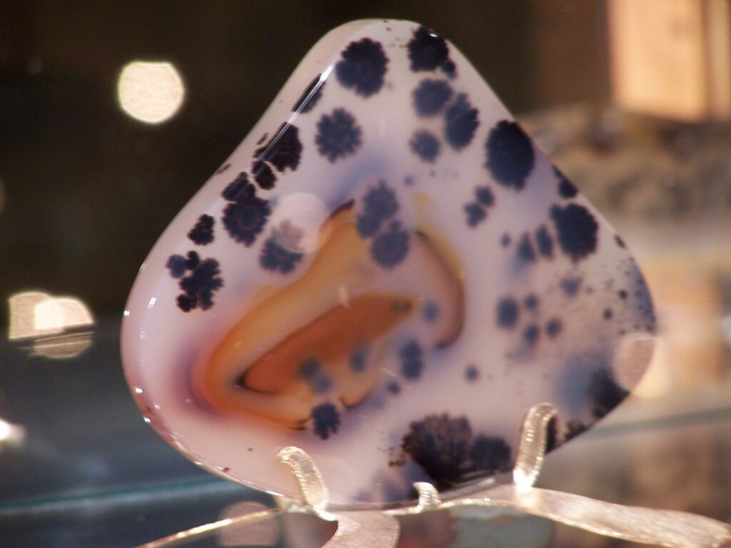 Material reference
LOCATION FIELD MAP
Local field map, land context & nearby records
This guide intentionally does not publish a primary coordinate. The map is centered on Richland County context and shows nearby mapped records without inventing a pin.
Viewing or research only. Do not collect from the protected or prohibited context. This entry is not a collecting recommendation. Do not remove rocks, minerals, fossils or other natural material where current protections or prohibitions apply.
Rockhounding in Seven Sisters WMA — Agate-Hunting Source Conflict Control
Seven Sisters WMA — Agate-Hunting Source Conflict Control is included as a protected or viewing-focused record in Richland, Montana. The mapped interest is Agate-hunting tourism signal vs FWP natural-feature no-take rule. The recorded management context is Montana Fish, Wildlife & Parks — Seven Sisters Wildlife Management Area.
This page combines the atlas record, mapped context, manager/evidence fields and review history. It is designed to answer the practical questions behind “rockhounding near me” without turning a mineral occurrence into an unsupported claim of public collecting permission.
What might you find?
Agate-hunting tourism signal vs FWP natural-feature no-take rule
Land manager & access context
Montana Fish, Wildlife & Parks — Seven Sisters Wildlife Management Area
This entry is not a collecting recommendation. Do not remove rocks, minerals, fossils or other natural material where current protections or prohibitions apply.
Coordinates & map precision
This record intentionally does not publish an exact coordinate pair. Use the named locality, county/region and manager context for research rather than inventing a precise specimen pin.
Evidence, confidence & legal-use notes
Visit Montana currently lists agate hunting at Seven Sisters, but the controlling FWP public-use rule covers WMAs and prohibits possession/damage of natural features and removal/disturbance of topsoil, subsoil and paleontological specimens. The manager rule overrides the tourism signal.
The record was last reviewed on 2026-08-19. Evidence and management context: Montana Fish, Wildlife & Parks — Seven Sisters Wildlife Management Area. Named negative control proving tourism copy cannot override current manager rules. Program or rule context: NO_GENERAL_COLLECTION_AUTHORITY.
Evidence snapshot: 2026-08-19. Conditions can change after a review date, so recheck the current controlling source before travel.
Field-ready planning checklist
- Confirm the exact property or land unit and current managing authority.
- Check private boundaries, active mining claims, leases, closures and posted restrictions.
- Verify that the material and collecting method you intend to use are allowed.
- Use the map precision label correctly: context points are not specimen coordinates.
- Check road, weather, fire, seasonal and safety conditions before leaving.
- Leave protected cultural, paleontological and archaeological resources undisturbed.
Using this location for “rockhounding near me”
Distance is only the first filter. A useful nearby destination also needs an appropriate status, a realistic access route, a relevant material or geological reason and current permission evidence. Compare this record with nearby alternatives before choosing a trip.
COMMUNITY FIELD INTELLIGENCE
Public Testimony & Field Stories
Approved visitor reports add real-world context to the official and geological evidence above. Community testimony never overrides land-manager rules, ownership, claims, closures or protected-resource law.