Conditional41.9 mi
Wisconsin Great Lakes Shoreline Stones — Property/Manager-Gated Context
Lake Superior agates, basalt, jasper, quartz, fossils and beach cobbles
Core atlasWISCONSIN LOCAL FIELD REGION
Agate-bearing gravels, local beach managers and Lake Superior water hazards.
LOCAL INTERACTIVE MAP
Explore nearby Wisconsin records without leaving this hub. Status, coordinate precision and access evidence determine whether a pin is a realistic field destination.
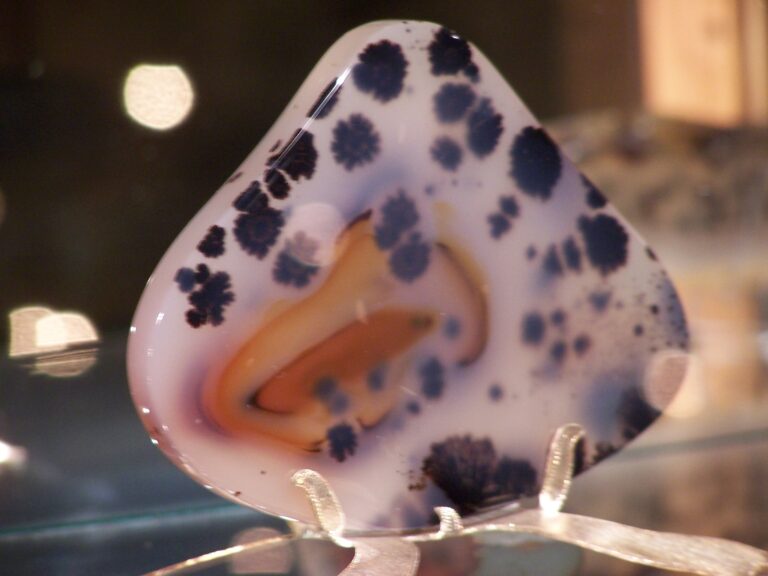
Reference photograph used for rock and mineral identification. It is not from this exact location or a guarantee that collecting is permitted.
The records below may represent collecting sites, managed programs, protected resources or research-only geology. Their individual status is more important than proximity.
Lake Superior agates, basalt, jasper, quartz, fossils and beach cobbles
Core atlasCopper, Lead
USGS ResearchCopper
USGS ResearchCopper
USGS ResearchCopper
USGS ResearchCopper
USGS ResearchCopper
USGS ResearchCopper, Zinc
USGS ResearchCopper, Zinc
USGS ResearchCopper
USGS ResearchCopper
USGS ResearchCopper
USGS ResearchCopper, Lead
USGS ResearchCopper
USGS ResearchCopper, Lead
USGS ResearchCopper
USGS ResearchCopper
USGS ResearchCopper
USGS ResearchCopper
USGS ResearchCopper, Zinc
USGS ResearchCopper
USGS Researchbasalt, amygdaloids, quartz, calcite and epidote
Core atlasCopper
USGS ResearchCopper
USGS ResearchCopper, Lead
USGS ResearchCopper
USGS ResearchCopper, Silver
USGS ResearchLake Superior agates, chalcedony and jasper
Core atlasCopper
USGS ResearchCopper
USGS ResearchCopper
USGS ResearchCopper, Nickel
USGS ResearchCopper
USGS ResearchCopper, Nickel
USGS ResearchCopper, Nickel
USGS Research