Research0.9 mi
Fourteenth Street Mine
Lead, Zinc
USGS ResearchIOWA CITY ROCKHOUNDING HUB
Dubuque anchors lead-zinc history, Mississippi bluff geology and Driftless-area research.
LOCAL INTERACTIVE MAP
Explore nearby Iowa records without leaving this hub. Status, coordinate precision and access evidence determine whether a pin is a realistic field destination.
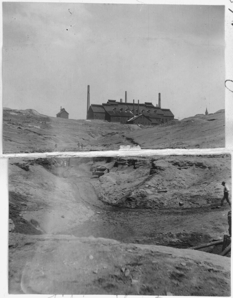
Reference photograph used for rock and mineral identification. It is not from this exact location or a guarantee that collecting is permitted.
This hub uses Dubuque as a geographic base, while the material mix is calculated from the records actually mapped around it.
Records are ordered by evidence status first, then distance. Open the detailed guide before treating any pin as a trip destination.
Lead, Zinc
USGS ResearchZinc, Lead
USGS ResearchLead
USGS ResearchLead, Zinc
USGS ResearchPhosphate
USGS ResearchLead
USGS ResearchLead, Zinc
USGS ResearchLead
USGS ResearchLead, Zinc
USGS ResearchLead, Zinc
USGS ResearchLead
USGS ResearchPhosphate
USGS ResearchLead, Zinc
USGS ResearchLead, Zinc
USGS ResearchPhosphate
USGS ResearchZinc, Lead
USGS ResearchLead, Zinc
USGS ResearchLead, Zinc
USGS ResearchLead, Zinc
USGS ResearchPhosphate
USGS ResearchPhosphate
USGS ResearchPhosphate
USGS ResearchPhosphate
USGS ResearchMineral resource occurrence
USGS ResearchPhosphate
USGS ResearchMineral resource occurrence
USGS ResearchZinc, Lead, Iron
USGS ResearchZinc, Lead
USGS ResearchMineral resource occurrence
USGS ResearchPhosphate
USGS ResearchLead, Zinc
USGS ResearchZinc, Lead
USGS ResearchPhosphate
USGS ResearchPhosphate
USGS ResearchPhosphate
USGS ResearchPhosphate
USGS ResearchMineral resource occurrence
USGS ResearchMineral resource occurrence
USGS ResearchZinc, Lead, Copper, Barite
USGS ResearchLead, Zinc
USGS ResearchLead
USGS ResearchZinc, Lead
USGS ResearchThe same U.S. inventory supplies the national map, the United States view on the global map, state maps and location guides. All 24 historical-record batches are included. Ready totals include Ready with conditions for the stated activity; read the individual conditions. A documented historical record with current access details pending says Update coming soon.
Source screening is not a field inspection or collecting permission. Materials, feature details, location guides and navigation options remain attached to individual records. Local and material-specific lists can be smaller than the complete inventory.